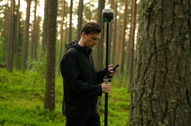
We provide high-quality professional survey and mapping services that involve the collection, analysis, interpretation, and presentation of data related to the physical features of an area. where precision and innovation converge. We specialise in DGPS, total station, and drone survey services to deliver accurate and reliable data for various industries.The DGPS Survey is ideal for applications needing high precision, such as land parcel mapping, topographic surveys, and infrastructure development. DGPS uses fixed ground-based reference stations for enhanced accuracy. Total Station Survey combines electronic distance and angle measurements, making it perfect for construction layouts, boundary surveys, and as-built surveys. It ensures precise alignment and documentation.We use advanced drone technology for rapid data collection, providing high-resolution aerial imagery and 3D models. Services include aerial mapping, volume calculations, and inspection of hard-to-reach areas.
Why choose us?
Expertise: skilled surveyors with extensive experience.
Accuracy: cutting-edge technology and meticulous methodologies.
Efficiency: Swift project completion without quality compromise.
Customised Solutions: Tailored services to meet specific project requirements.
Industries served: construction, real estate, agriculture, mining, and infrastructure.
Our Process: consultation, planning, data collection, data processing, and delivery of precise survey data.


